Bishopville, Maryland
Bishopville, Maryland | |
|---|---|
  Bishopville | |
| Coordinates: 38°26′33″N 75°11′37″W / 38.44250°N 75.19361°W | |
| Country | United States |
| State | Maryland |
| County | Worcester |
| Area | |
• Total | 2.89 sq mi (7.49 km2) |
| • Land | 2.86 sq mi (7.41 km2) |
| • Water | 0.031 sq mi (0.08 km2) |
| Elevation | 10 ft (3.0 m) |
| Population (2020) | |
• Total | 499 |
| • Density | 174.4/sq mi (67.32/km2) |
| Time zone | UTC−5 (Eastern (EST)) |
| • Summer (DST) | UTC−4 (EDT) |
| ZIP code | 21813 |
| Area codes | 410, 443, and 667 |
| GNIS feature ID | 583255[2] |
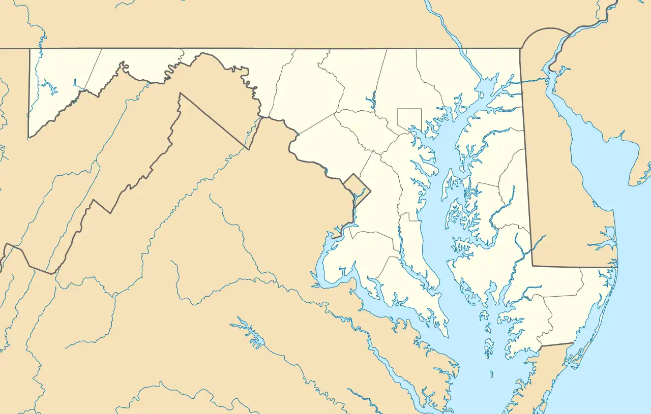
Bishopville is an unincorporated community and census-designated place 10 miles (16 km) north of Berlin, Maryland, United States. The community is just south of the Delaware state line. It is part of the Salisbury, Maryland-Delaware Metropolitan Statistical Area. As of the 2010 census, Bishopville had a population of 531.[3]
Bishopville arose at the site of a mill on and crossing of the Bishopville Prong of the St. Martin's River. The crossing, the main road through the community, is now Maryland Route 367.
Demographics
| Census | Pop. | Note | %± |
|---|---|---|---|
| 2020 | 499 | — | |
| U.S. Decennial Census[4] | |||
References
- ^ "2020 U.S. Gazetteer Files". United States Census Bureau. Retrieved April 26, 2022.
- ^ "Bishopville". Geographic Names Information System. United States Geological Survey, United States Department of the Interior.
- ^ "U.S. Census website". United States Census Bureau. Retrieved January 7, 2016.
- ^ "Census of Population and Housing". Census.gov. Retrieved June 4, 2016.
External links

Wikimedia Commons has media related to Bishopville, Maryland.
Municipalities and communities of Worcester County, Maryland, United States | ||
|---|---|---|
| City |  | |
| Towns | ||
| CDPs | ||
| Other communities | ||
| Footnotes | ‡This populated place also has portions in an adjacent county or counties | |
| ||