Potters Hill, North Carolina
Potters Hill, North Carolina | |
|---|---|
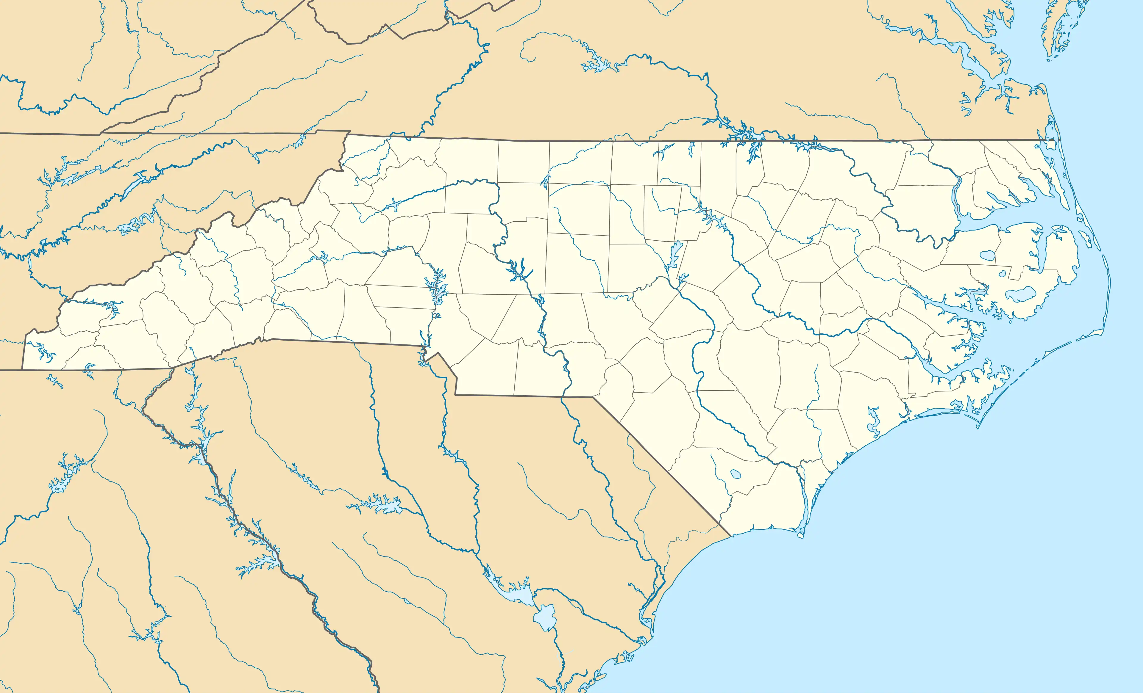  Potters Hill Location within the state of North Carolina | |
| Coordinates: 34°58′6″N 77°42′38″W / 34.96833°N 77.71056°W | |
| Country | United States |
| State | North Carolina |
| County | Duplin |
| Area | |
• Total | 5.36 sq mi (13.87 km2) |
| • Land | 5.35 sq mi (13.86 km2) |
| • Water | 0 sq mi (0.00 km2) |
| Elevation | 92 ft (28 m) |
| Population (2020) | |
• Total | 437 |
| • Density | 81.6/sq mi (31.52/km2) |
| Time zone | UTC-5 (Eastern (EST)) |
| • Summer (DST) | UTC-4 (EDT) |
| Area codes | 910, 472 |
| GNIS feature ID | 1025627[2] |
Potters Hill is an unincorporated community and census-designated place (CDP) in Duplin County, North Carolina, United States.[2][3] At the 2020 census, the population was 437.
Potters Hill is located in eastern Duplin County along North Carolina Highway 41, which leads northeast 5 miles (8 km) to U.S. Route 258 and southwest 5 miles (8 km) to North Carolina Highway 24 at Beulaville. The northeastern portion of the Potters Hill CDP is adjacent to Jones and Onslow counties.
| Census | Pop. | Note | %± |
|---|---|---|---|
| 2020 | 437 | — | |
| U.S. Decennial Census[4] | |||
References
- ^ "ArcGIS REST Services Directory". United States Census Bureau. Retrieved September 20, 2022.
- ^ a b c "Potters Hill". Geographic Names Information System. United States Geological Survey, United States Department of the Interior.
- ^ "Potters Hill Census Designated Place". Geographic Names Information System. United States Geological Survey, United States Department of the Interior.
- ^ "Census of Population and Housing". Census.gov. Retrieved June 4, 2016.
Municipalities and communities of Duplin County, North Carolina, United States | ||
|---|---|---|
| Towns |  | |
| CDPs | ||
| Other communities | ||
| Footnotes | ‡This populated place also has portions in an adjacent county or counties | |
| ||