Shoe Cove, Notre Dame Bay, Newfoundland and Labrador
Shoe Cove | |
|---|---|
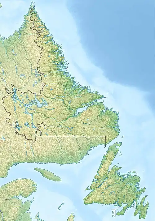  Shoe Cove Location of Shoe Cove  Shoe Cove Shoe Cove (Canada) | |
| Coordinates: 49°54′58″N 55°33′54″W / 49.916°N 55.565°W[1] | |
| Country | Canada |
| Province | Newfoundland and Labrador |
| Region | Newfoundland |
| Census division | 8 |
| Census subdivision | O |
| Government | |
| • Type | Unincorporated |
| Population (2021) | |
• Total | 16 |
| Time zone | UTC−03:30 (NST) |
| • Summer (DST) | UTC−02:30 (NDT) |
| Area code | 709 |
Shoe Cove is a local service district in the Canadian province of Newfoundland and Labrador.
Geography
Shoe Cove is in Newfoundland within Subdivision O of Division No. 8.[2]
Government
Shoe Cove is a local service district (LSD)[3] that is governed by a committee responsible for the provision of certain services to the community.[4] The chair of the LSD committee is Sandy Newbury.[3]
Shoe Cove Satellite Station
Shoe Cove was home to a Spacecraft Tracking and Data Acquisition Network station starting in the early 1960s supporting Mercury, Gemini and Apollo missions. Starting in 1977, the site was used by Canada Centre for Remote Sensing before being closed for good in 1982.[5]
See also
- List of communities in Newfoundland and Labrador
- List of local service districts in Newfoundland and Labrador
References
- ^ "Search the Canadian Geographical Names Database (CGNDB): Shoe Cove". Natural Resources Canada. February 16, 2021. Retrieved January 2, 2022.
- ^ 91 Census (PDF). Population and Dwelling Counts. Vol. Unincorporated Places. Ottawa: Statistics Canada. June 1993. Retrieved January 5, 2022.
- ^ a b "Directory of Local Service Districts" (PDF). Government of Newfoundland and Labrador. October 2021. Retrieved January 1, 2022.
- ^ "Local Service Districts – Frequently Asked Questions". Government of Newfoundland and Labrador. Retrieved January 1, 2022.
- ^ "Making Government Science Work for Canada and the World" (PDF). June 20, 2019. Retrieved November 25, 2025.