Upper Sardis Wildlife Management Area
| Upper Sardis Wildlife Management Area | |
|---|---|
| Upper Sardis WMA | |
IUCN category IV (habitat/species management area) | |
   | |
| Location | Lafayette County and Marshall county, Mississippi, United States |
| Nearest city | Oxford, Mississippi |
| Coordinates | 34°24′53″N 89°19′32″W / 34.414623°N 89.325419°W |
| Area | 50,725 acres (205.3 km2)[1] |
| Governing body | Mississippi Department of Wildlife, Fisheries and Parks |
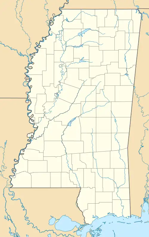
Upper Sardis Wildlife Management Area (WMA) is a 13.61 square mile[2] (50,725 acres (20,528 ha)) irregular tract of protected land located in Lafayette County, within Holly Springs National Forest.[3] Part of the northern boundary of the WMA, south of the Little Tallahatchie Canal, to include north of the Little Tallahatchie River, is located in Marshall County.[4] All U. S. Army Corps of Engineer lands in Lafayette and Marshall Counties and all National forest land in Lafayette County is under the Upper Sardis WMA.[5]
References
- ^ "Upper Sardis Wildlife Management Area 50,725 Acres" (PDF). Mississippi Department of Wildlife, Fisheries and Parks. Retrieved November 16, 2025.
- ^ "Upper Sardis WMA - Mississippi Wildlife Area". i-Hunting. Retrieved November 16, 2025.
- ^ "Upper Sardis Wildlife Management Area". Mississippi Department of Wildlife, Fisheries and Parks. Retrieved November 16, 2025.
- ^ "Upper Sardis WWildlife Management Area" (PDF). Mississippi Department of Wildlife, Fisheries and Parks. Retrieved November 16, 2025.
- ^ "Mississippi Administrative Code Title 40 - Wildlife, Fisheries, and Parks Part 2 - Wildlife Chapter 1 - Wildlife Management Areas (WMA) Rule 40-2-1.31 - Upper Sardis - Areas included". Justia. Retrieved November 16, 2025. MS Code of Rules 40-2-1.31