West Montagu, Tasmania
West Montagu | |||||||||||||
|---|---|---|---|---|---|---|---|---|---|---|---|---|---|
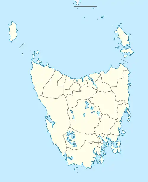  West Montagu | |||||||||||||
| Coordinates: 40°47′07″S 144°53′31″E / 40.7853°S 144.8920°E | |||||||||||||
| Country | Australia | ||||||||||||
| State | Tasmania | ||||||||||||
| Region | North-west and west | ||||||||||||
| LGA | |||||||||||||
| Location |
| ||||||||||||
| Government | |||||||||||||
| • State electorate | |||||||||||||
| • Federal division | |||||||||||||
| Population | |||||||||||||
| • Total | 45 (2016 census)[2] | ||||||||||||
| Postcode | 7330 | ||||||||||||
| |||||||||||||
West Montagu is a rural locality in the local government area (LGA) of Circular Head in the North-west and west LGA region of Tasmania. The locality is about 25 kilometres (16 mi) north-west of the town of Smithton. The 2016 census recorded a population of 45 for the state suburb of West Montagu.[2]
History
West Montagu was gazetted as a locality in 1973.[3]
Geography
The waters of Robbins Passage, an inlet of Bass Strait, form the northern boundary, and the Montagu River forms the eastern.[4]
Road infrastructure
Route C215 (Montagu Road) runs through from east to west.[3][5]
References
- ^ Australian Bureau of Statistics (28 June 2022). "West Montagu (suburb and locality)". Australian Census 2021 QuickStats. Retrieved 28 June 2022.
- ^ a b "2016 Census Quick Stats West Montagu (Tas.)". quickstats.censusdata.abs.gov.au. Australian Bureau of Statistics. 23 October 2017. Retrieved 16 January 2021.
- ^ a b "Placenames Tasmania – West Montagu". Placenames Tasmania. Select “Search”, enter "12509K", click “Search”, select row, map is displayed, click “Details”. Retrieved 16 January 2021.
- ^ "West Montagu, Tasmania" (Map). Google Maps. Retrieved 16 January 2021.
- ^ "Tasmanian Road Route Codes" (PDF). Department of Primary Industries, Parks, Water & Environment. May 2017. Archived from the original (PDF) on 1 August 2017. Retrieved 16 January 2021.