Bueng Kum
Bueng Kum

Parc des Forces thaïlandaises libres
| Nom officiel |
(th) เขตบึงกุ่ม |
|---|---|
| Nom local |
(th) เขตบึงกุ่ม |
| Pays | |
|---|---|
| Ville | |
| Superficie |
24,31 km2 |
| Subdivisions | |
| Coordonnées |
13° 47′ 07″ N, 100° 40′ 09″ E |


| Population |
140 817 hab. () |
|---|---|
| Densité |
5 792,6 hab./km2 () |
| Statut |
District de Bangkok (d) |
|---|
| Origine du nom |
Bueng Kum (d) |
|---|---|
| Fondation |
| Devise |
En thaï : บึงกุ่มงาม สวนน้ำใหญ่ แหล่งพักอาศัย ประชาร่วมใจพัฒนา |
|---|
| Code postal |
10240, 10230 |
|---|---|
| Site web |
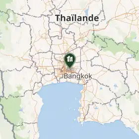
Bueng Kum (thaï : บึงกุ่ม ; API : bɯ̄ŋ kùm) est l’un des 50 khets de Bangkok, Thaïlande.
Histoire
Points d'intérêt
- Parc des Forces thaïlandaises libres (Seri Thai Park)[1]
Notes et références
- ↑ (en) « Bangkok’s 10 best public parks for joggers », sur nationthailand.com, The Nation (Thailand),
Liens externes
 Portail de Bangkok